スーパー地形 - GPS対応地形図アプリ
- Maps & Navigation
- 4.6.17
- 16.7 MB
- by kashmir3d
- Android 5.0+
- Jan 03,2025
- Package Name: com.kashmir3d.superdem
Super Terrain: Your Ultimate Mapping and Navigation App
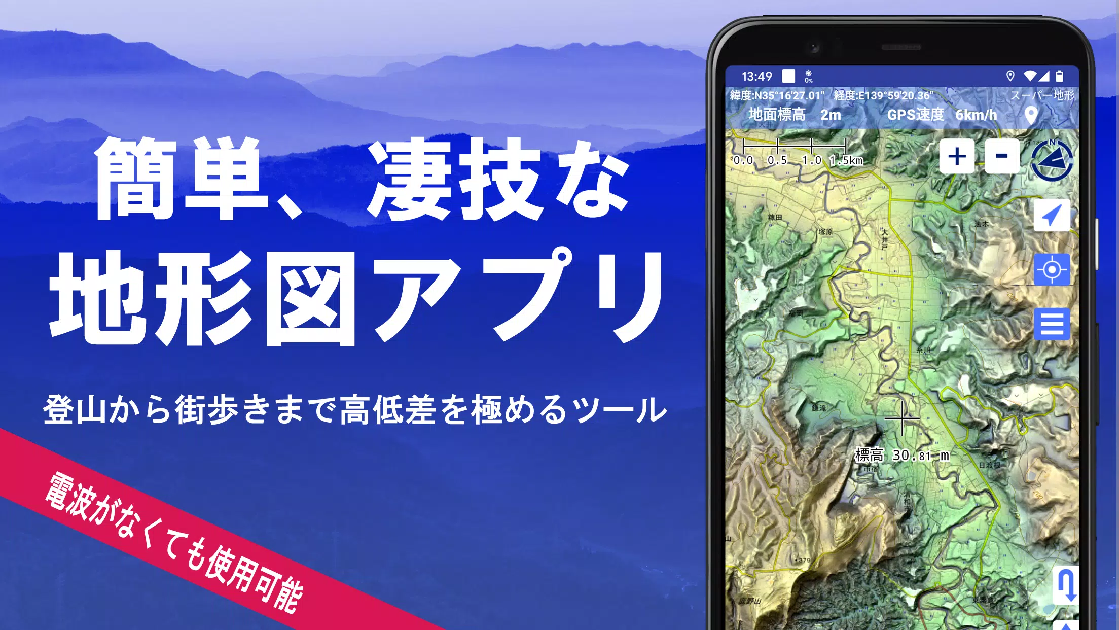
Super Terrain is a powerful mapping application boasting over 100 map types, including those from the Geographical Survey Institute of Japan. Its advanced features cater to diverse needs, from casual city walks to challenging mountain climbs. Winner of the 2018 Japan Cartographic Society Award for Best Work, Super Terrain offers unparalleled functionality.
Key Features:
-
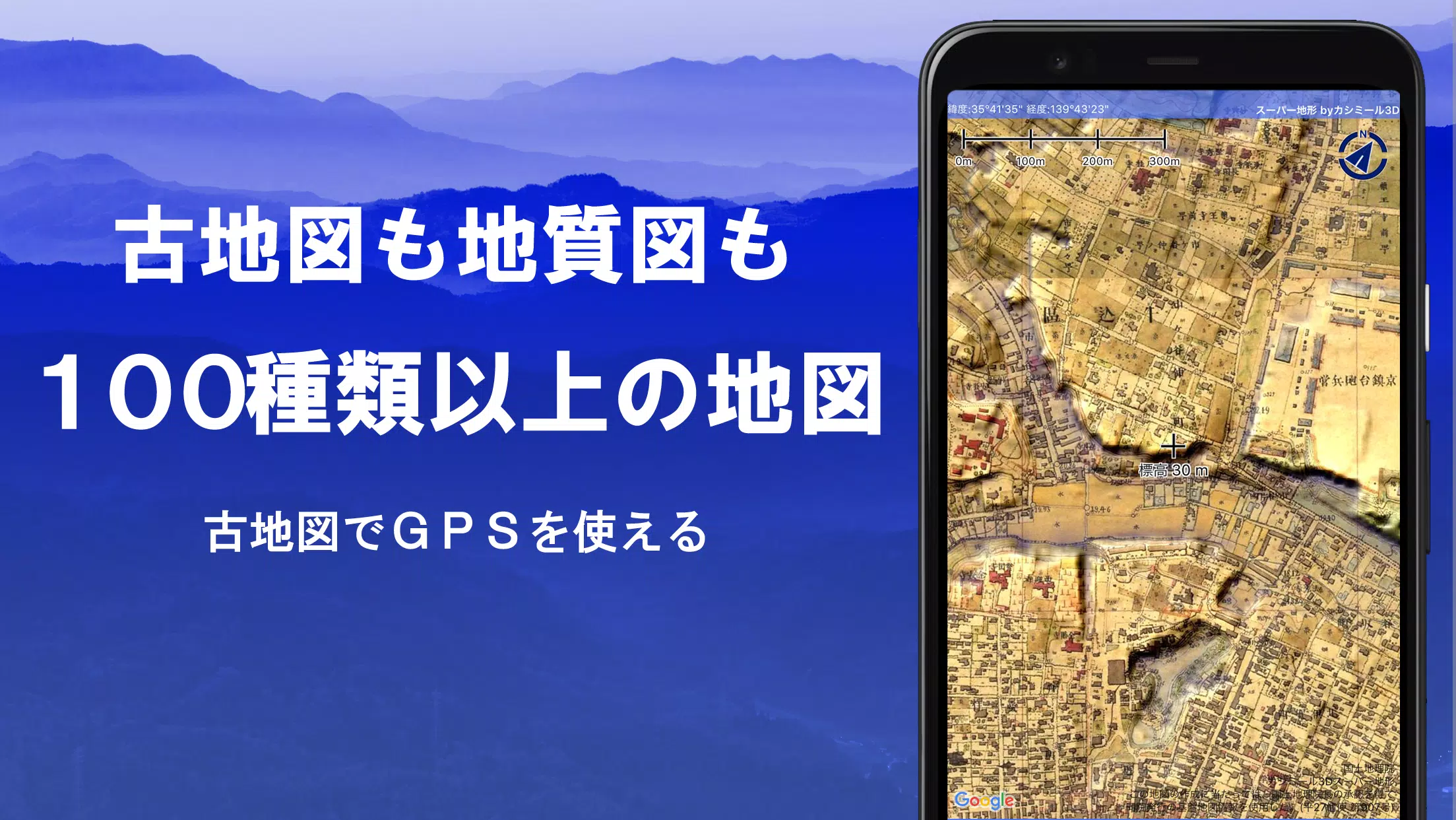
Unparalleled Map Selection: Access over 100 map types, including high-resolution topographic maps, geological surveys, historical maps, and more, utilizing unique "super terrain data" for enhanced detail. A 5-day free trial of super terrain data is included.
-
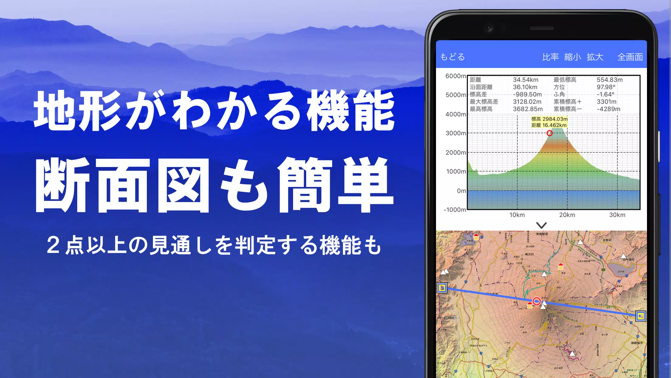
Advanced Terrain Analysis: Create detailed cross-sections, assess visibility for communication purposes, and gain a comprehensive understanding of the terrain. Building data integration enhances accuracy.
-
Immersive Panoramic Views: Enjoy breathtaking 360° panoramic views, easily identify mountains, and track the sun and moon's positions. Perfect for planning hikes and appreciating natural beauty.
-
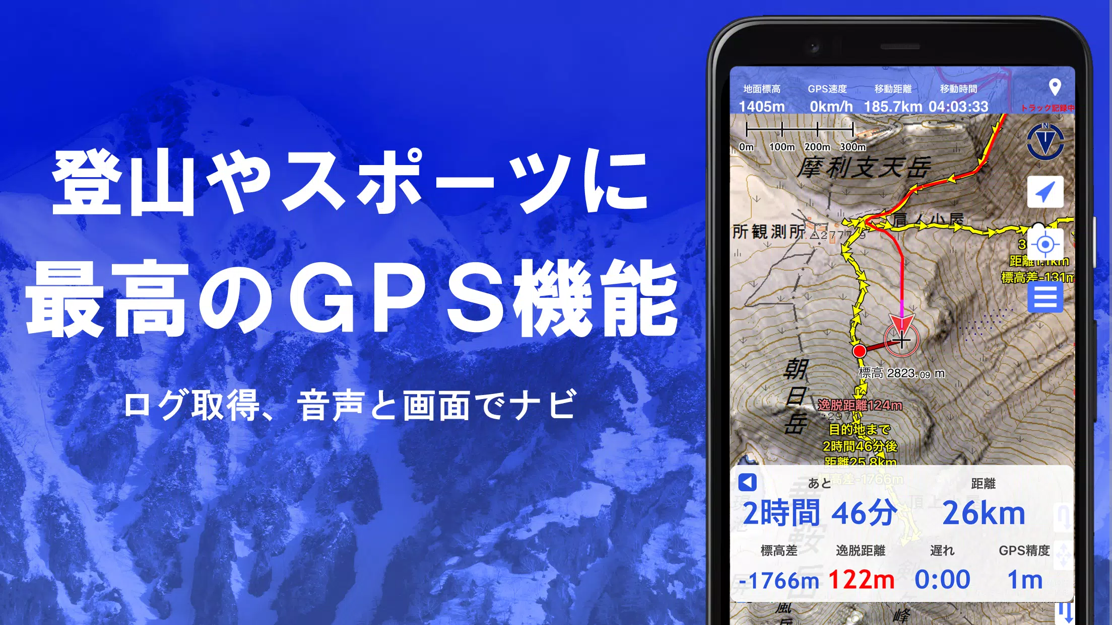
Robust GPS Functionality: Record high-precision GPS tracks, complete with elevation changes, speed, and timestamps. Utilize voice and alarm notifications for point alerts, photo tagging, and NaviCon integration. Offline map caching ensures uninterrupted use even without cellular service.
-
Comprehensive Data Management: Effortlessly edit and manage GPS data, including points, routes, and tracks. Import and export data using GPX format. Organize data efficiently using a user-friendly folder system.
-
Offline Capabilities: Download maps in bulk for offline access, perfect for remote areas. A cache function further enhances offline functionality.
-
Custom Map Support: Import and use custom maps created with Kashmir 3D's map cutter.
-
GeoJSON Compatibility: Import, display, and edit GeoJSON data, allowing for drawing and manipulation of shapes.
-
Output Options: Print maps at custom scales or export them as PDFs.
-
Seamless App Integration: Exchange data with other applications, including Kashmir 3D software.
-
Data Backup and Restore: Securely back up and restore your app data (excluding cached maps) via Google Drive or manual processes.
-
Dark Theme Support: Enjoy comfortable viewing, even in low-light conditions.
Pricing and In-App Purchases:
A yearly subscription of 780 yen unlocks premium features such as super terrain data, advanced GPS tracking, and cross-sectional views, along with enhanced place name search results. A 5-day free trial is available upon installation. See the app for purchase and cancellation details.
Important Notes:
- Continuous GPS use may drain battery life. Consider carrying a spare battery, especially during extended outdoor activities.
- Some smartphones may experience GPS recording interruptions due to power-saving features.
For detailed navigation instructions, refer to this PDF: https://www.kashmir3d.com/online/superdemapp/superdem_navi.pdf
这个游戏没什么意思,画面也很一般。
地図の種類が豊富で、登山にとても役立ちます!使いやすいインターフェースも気に入っています。
Aplicativo útil para navegação, mas a interface poderia ser mais intuitiva.
这个应用不错,但是有些食谱比较难做。
这款游戏非常刺激,可破坏的环境增加了游戏的趣味性,值得一玩!
-
"Dragon Odyssey: A Beginner's Guide"
The Dragon Odyssey is a captivating MMORPG that invites players into a vast, magical world teeming with dragons, legendary treasures, and epic battles. This game masterfully blends action-packed combat with deep RPG elements, offering an engaging experience for players of all skill levels. Whether y
Apr 10,2025 -
Raid: Shadow Legends Affinities: Complete System Guide
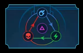
In Raid: Shadow Legends, winning battles transcends merely assembling a powerful team; it's about mastering the hidden mechanics that dictate combat effectiveness. One such pivotal mechanic is the Affinity System, which plays a crucial role in determining how effectively your Champions can combat th
Apr 10,2025 - ◇ "Unlock Psylocke's New Blood Kariudo Skin in Marvel Rivals" Apr 10,2025
- ◇ Lost Soul Aside Preorder and DLC Apr 10,2025
- ◇ Josef Fares Unveils Split Fiction Insights in Interview Apr 10,2025
- ◇ Top R.E.P.O. Mods Reviewed Apr 10,2025
- ◇ Iniu 20,000mAh Power Bank Now $9.99 on Amazon Apr 10,2025
- ◇ Heaven Burns Red Marks 100 Days with New Content Galore Apr 10,2025
- ◇ Sony Releases PS5 and PS4 Updates: Key Features Revealed Apr 10,2025
- ◇ "Stardew Valley Meets Baldur's Gate 3 in Fan-Made Crossover: Baldur's Village" Apr 10,2025
- ◇ "Monster Hunter Outlanders: Mobile Open World by Pokémon Unite Developers" Apr 10,2025
- ◇ "Save 20% on Hoto Snapbloq: New Modular Electric Precision Tools" Apr 10,2025
- 1 Marvel's Spider-Man 2 Swings to PC in January 2025 May 26,2023
- 2 Tomorrow: MMO Nuclear Quest Is a New Sandbox Survival RPG Nov 15,2024
- 3 Black Myth: Wukong Review Fallout Nov 13,2024
- 4 Stellar Blade PC Release Date Confirmed For 2025 Jan 05,2025
- 5 Final Fantasy XVI PC Port Falls Short Nov 14,2024
- 6 GTA 6 Raises The Bar and Delivers on Realism Beyond Expectations Nov 10,2024
- 7 Roblox Ban in Turkey: Details and Reasons Mar 10,2024
- 8 Dragonite Cross-Stitch Captivates Pokémon Enthusiasts Nov 08,2024
-
Best Racing Games to Play Now
A total of 10
-
Explore the World of Shooting Games
A total of 10
-
Best Free Simulation Games for Your Android Phone
A total of 4

